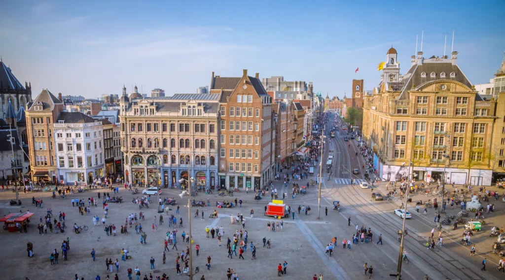
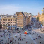
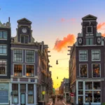
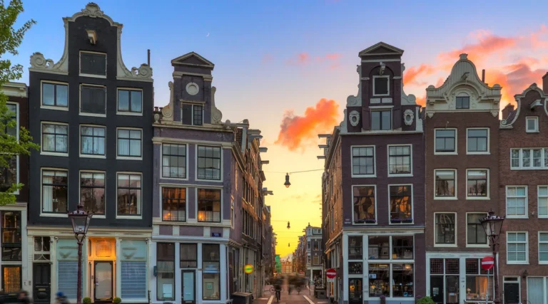
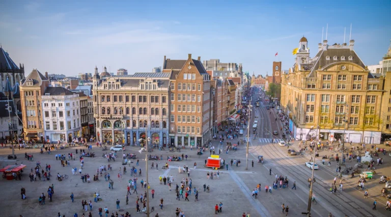
Rokin links Dam Square with the water and streets around Muntplein. It is a city-centre avenue with shops, façades, tram tracks and metro entrances, but also a surviving stretch of the Amstel’s old course. Walking its length reveals how much of Amsterdam’s history is tied to changing the relationship between land and water.
Follow the route from Dam Square towards Muntplein.
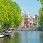
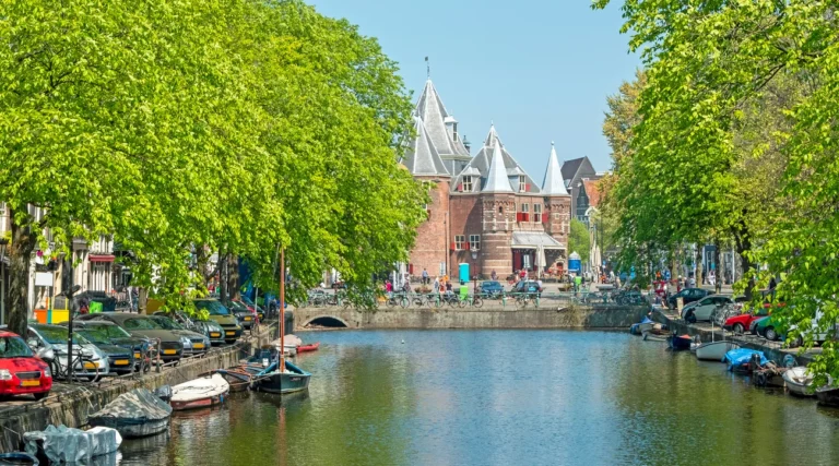
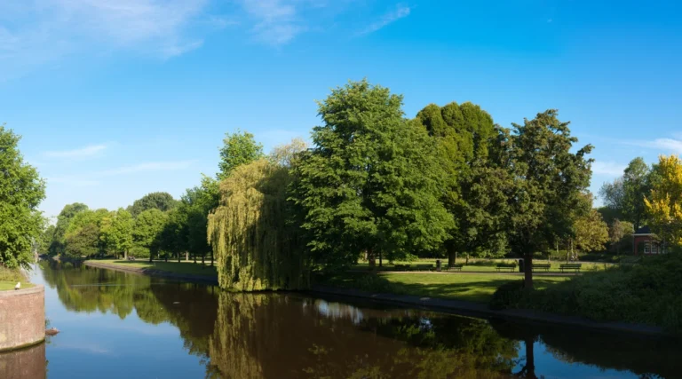
Look across the remaining water towards Oude Turfmarkt.
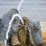
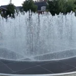
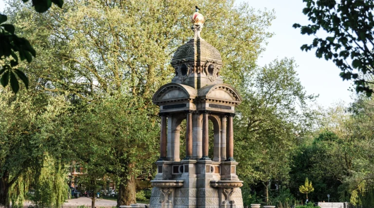
Notice Mark Manders’s fountain sculpture.
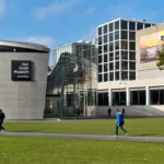
Consider a separate visit to the Allard Pierson.
Look for the archaeological displays when using Rokin station.
The perfect walk between old river and modern avenue
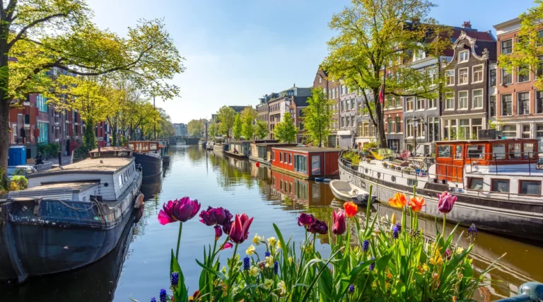
Take Rokin as a walk, not just a link between transport stops. The northern section feels like a broad city street, while the southern stretch opens onto water. Looking across rather than only straight ahead brings the façades and the opposite bank into the visit.
What to see along Rokin
Rokin combines old buildings with recent public art and the infrastructure of the modern city. Choose a few places to pause, giving tram stops, cycle lanes and shop entrances plenty of room.
Quick summary of a Rokin walk
Allow time for a short walk and two or three stops. Museums, a Dungeon visit, a food tour or a boat trip need their own time and booking arrangements. The street itself has no visitor entrance charge.
The Dungeon, a food walk and a canal perspective
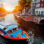
These bookings offer different ways to extend a Rokin visit: The Amsterdam Dungeon at Rokin 78, a food walk with a Rokin stop, and a canal cruise whose sample route includes a pass along Rokin.
The Dungeon is an actor-led theatrical attraction with scares, rather than an ordinary history museum; check age recommendations and suitability. The food tour starts in the Waterlooplein area, with its own tastings and dietary conditions. The cruise has a separate departure point, and its route can change with traffic, works or weather. None of these bookings includes general admission to the Allard Pierson.
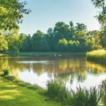
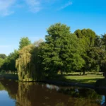
Water survives only along part of Rokin: do not expect a canal along its entire length.
Public-street access is free; museums, performances, guided tours and boat trips are separate activities.
The Dungeon is a theatrical experience with scares. Its operator recommends a minimum age of 10.
Rokin station’s archaeological displays belong to a working metro station; follow signs and normal transport arrangements.
Cross tram tracks and cycle routes at designated points.
Look across the water from a safe pavement position, avoiding boat boarding areas.
Check the precise pier and arrival time before any cruise; being on Rokin does not identify your boat.
If looking at station displays, keep escalators and passenger routes clear.
How to reach Rokin
Rokin metro station gives direct access to different parts of the street. Choose the exit that suits your next stop. The route is also easy to join on foot from Dam Square or Muntplein; check current GVB services and diversions before relying on a particular tram.
A river course beneath the city street
Rokin follows part of the original course of the Amstel through the old city. Water and trade shaped the area long before the modern avenue. Amsterdam’s early stock exchange once stood above the water near Dam Square.
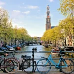
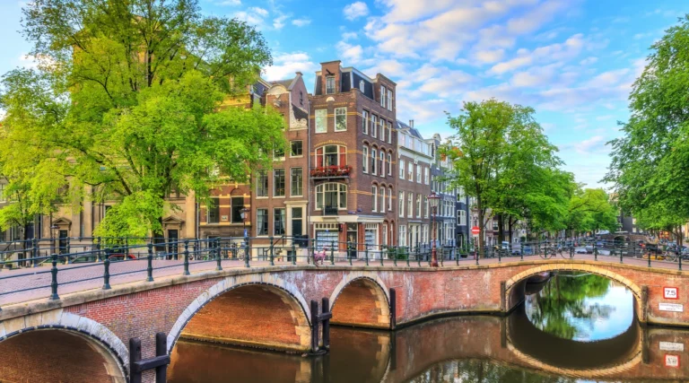
The northern waterway was filled in during the 1930s, creating the land-based setting seen today between the Dam and the Spui area. The southern stretch retained its water, so a walk along Rokin still shows the contrast between the former river corridor and the later street.
Metro construction revealed another layer of that history. Archaeologists recovered large numbers of objects from the old riverbed, ranging from fragments of everyday possessions to things that illuminate trade and city life. The Below the Surface displays at Rokin station present a selection of those finds.
The present-day public space also includes contemporary art. Mark Manders’s monumental fountain sculpture was installed in 2017 as part of the renewed streetscape. Together, the water, archaeological material and recent redesign make Rokin a useful place to think about how Amsterdam continues to remake its centre.
Details that reveal Rokin’s changing landscape
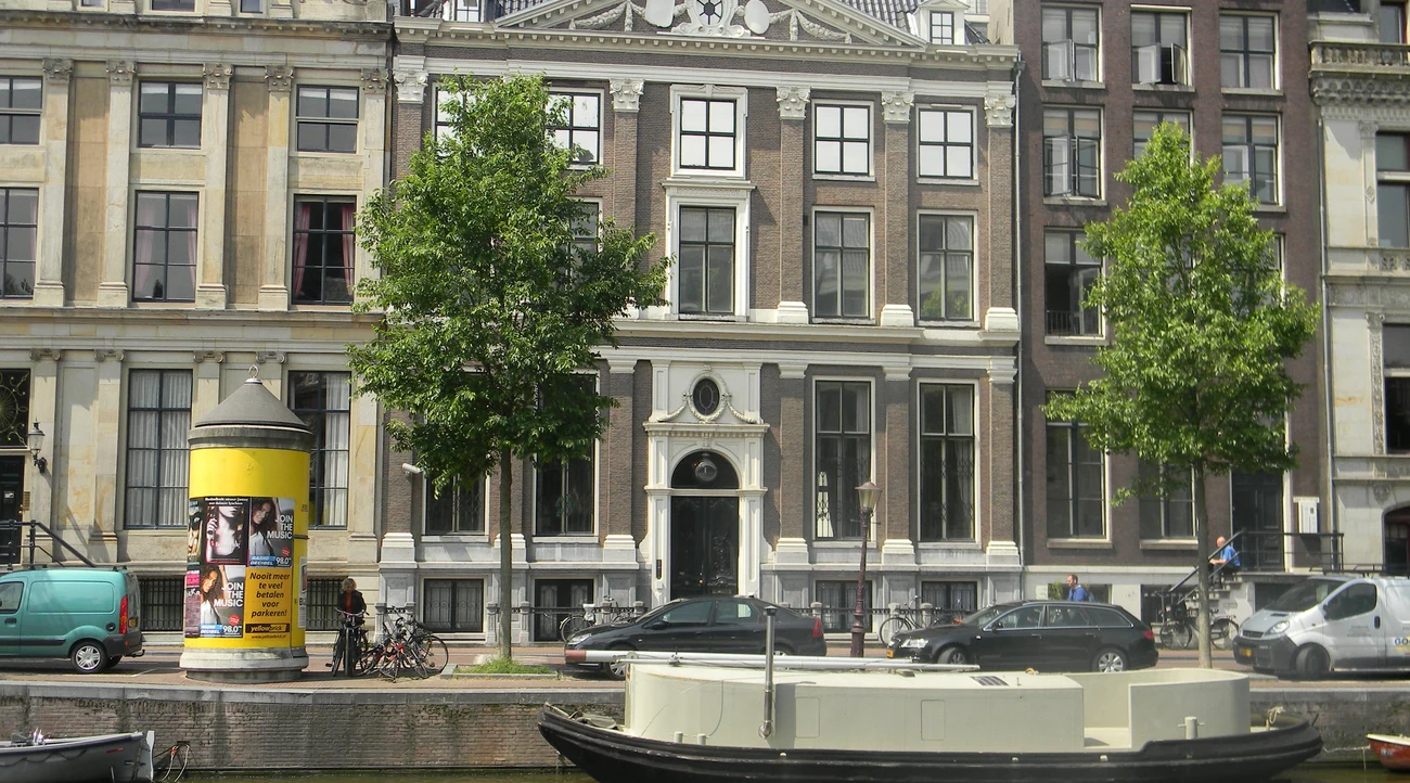
An avenue over a former waterway: the difference between the northern and southern sections is part of the story.
The riverbed preserved ordinary objects that now help explain everyday life in earlier Amsterdam.
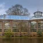
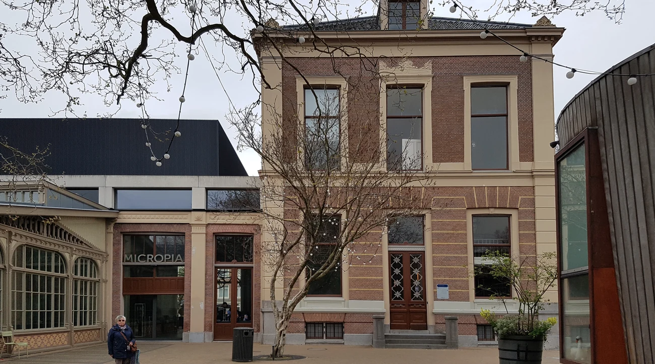
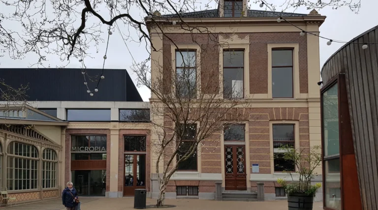
The Allard Pierson stands on Oude Turfmarkt across the water, a distinct address from Rokin itself.
The modern fountain adds a recent artistic layer to a route shaped by centuries of trade and movement.
Canal history tickets and Dutch food experiences
Find your stay near Rokin
A base near Rokin, Dam Square or Muntplein is convenient for walking and metro access. Check the exact entrance, stairs and potential traffic or evening noise before booking. The accommodation map is centred on Rokin in Amsterdam.
More activities and experiences in Amsterdam